Local coverage
Coverage from the North West across the Pennines to the North East
- Coverage
- Greater Manchester, Merseyside, Cheshire, Lancashire, Yorkshire, Teesside, Durham, Tyne and Wear, Northumberland and Cumbria
- Availability
- 24/7, including night working and emergency rapid-response call-outs
- Authorities
- Combined authority, city, unitary and county highway authorities, plus National Highways on the motorway and trunk network
- Site types
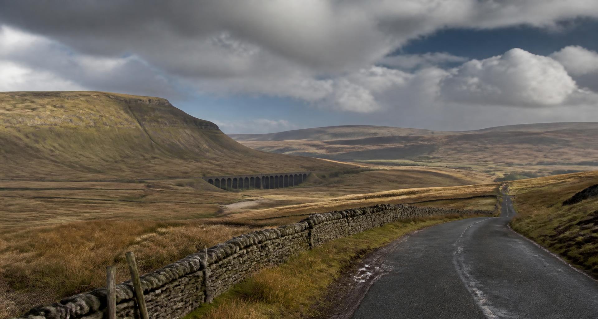
- Victorian terraced streets, city centre regeneration, motorway and trans-Pennine corridors, dock and industrial estates, upland rural routes
Our northern coverage spans Greater Manchester, Merseyside, Cheshire and Lancashire in the west, West and South Yorkshire including Leeds, Bradford, Sheffield and York, and the North East through Teesside, Durham, Newcastle, Sunderland and Northumberland, along with Cumbria and the upland routes between.
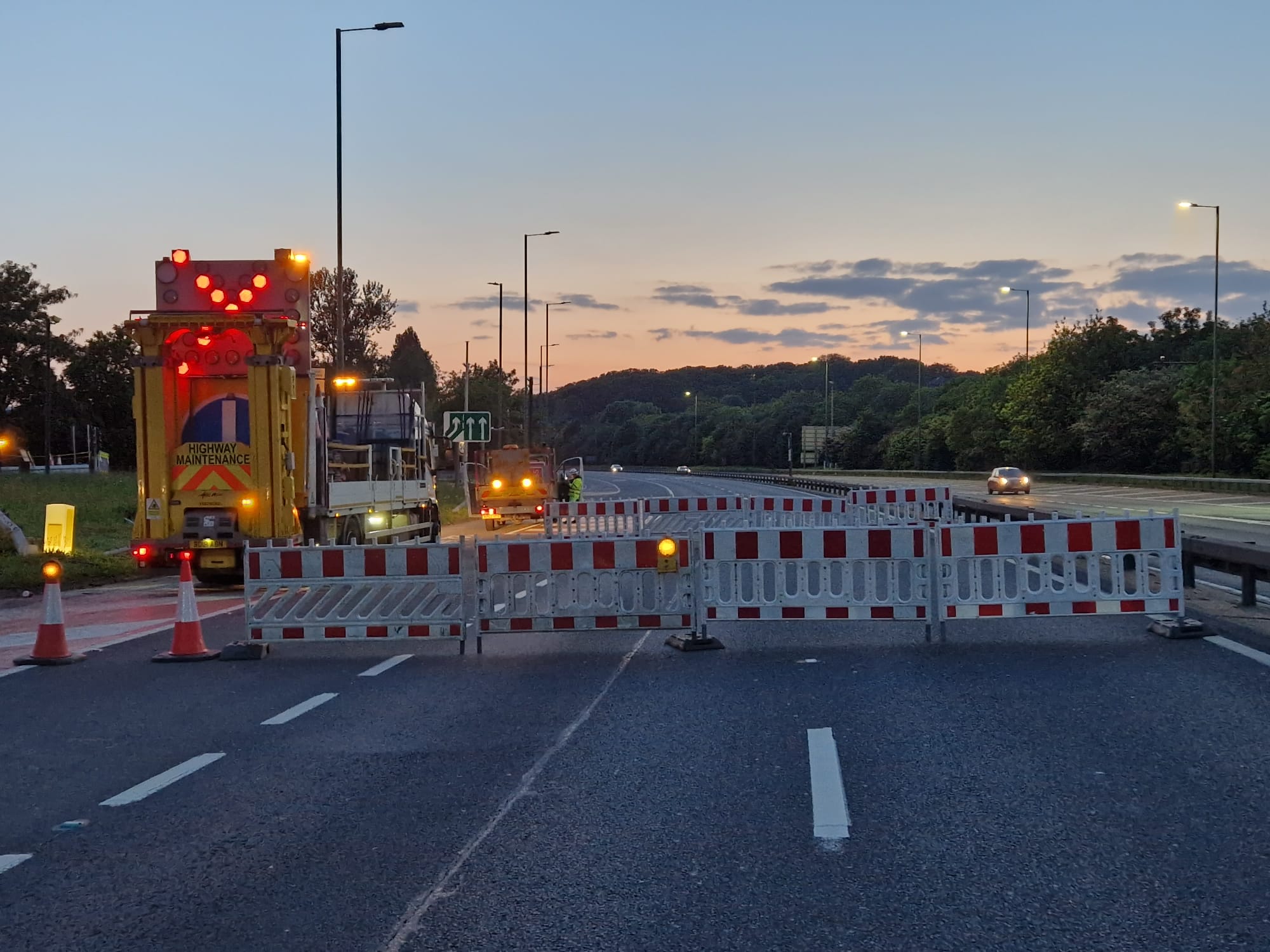
The road network is a mix of intensive urban systems — the Manchester and Leeds inner networks, Liverpool's dock and city roads, Sheffield's valley layout — and long strategic corridors including the M6, M60, M62, M56, M1, A1(M), A19, A66 and A628 over the Pennines.
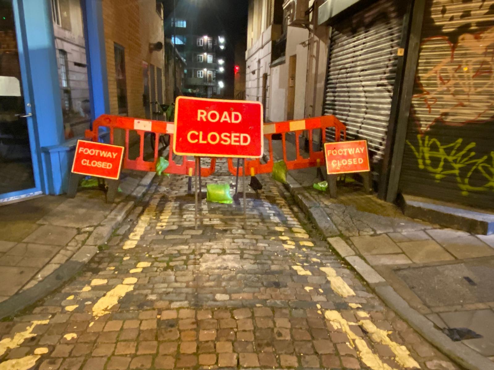
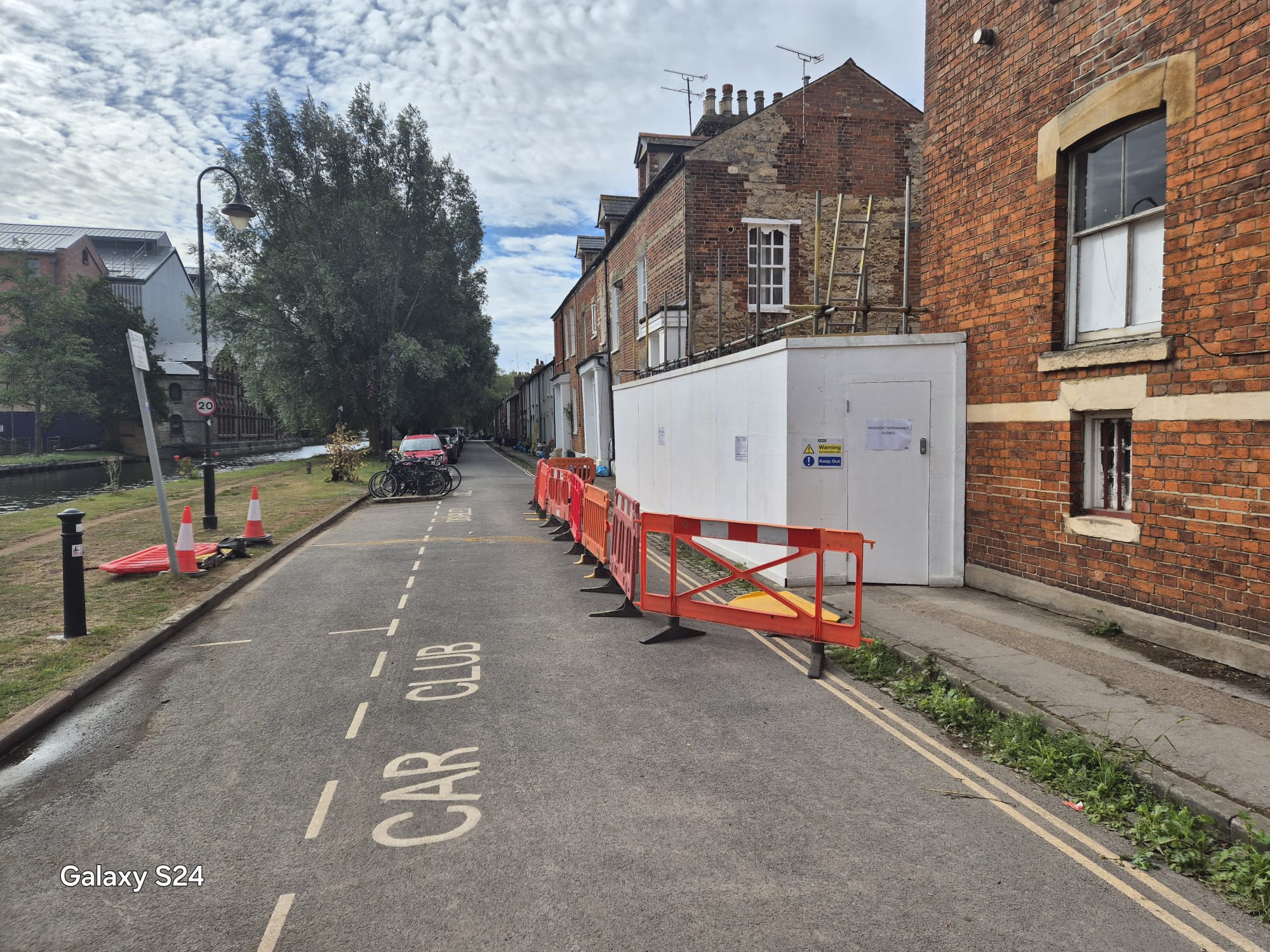
The northern cities have a large stock of Victorian terraced housing and older industrial and commercial buildings, which means narrow adopted streets, on-street parking on both sides, tight turning heads and utility apparatus that predates modern street layouts. Working space is frequently the binding constraint before traffic volume is.
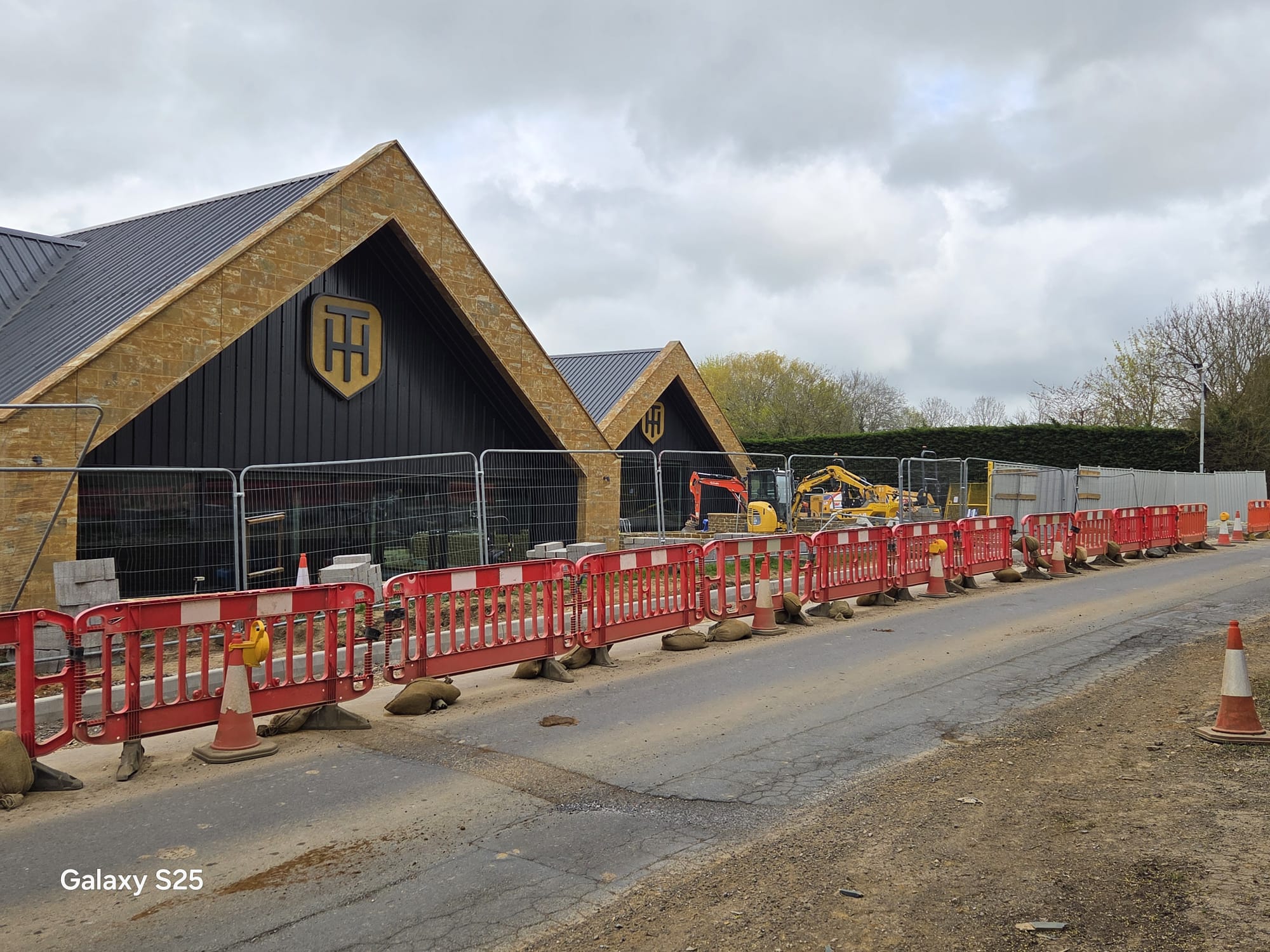
The work includes utility and civils programmes across the conurbations, city centre regeneration and construction access, motorway and trans-Pennine corridor schemes, long-duration development accesses, rail and infrastructure project support, and rural and upland works in Cumbria, the Dales, the Peak fringe and Northumberland.