Almost everything travelling between Witney and Oxford uses the A40. When the A40 is affected, the alternatives are rural lanes through villages that cannot absorb the traffic, so authority scrutiny of any A40 arrangement is heavy and the working windows are tight.
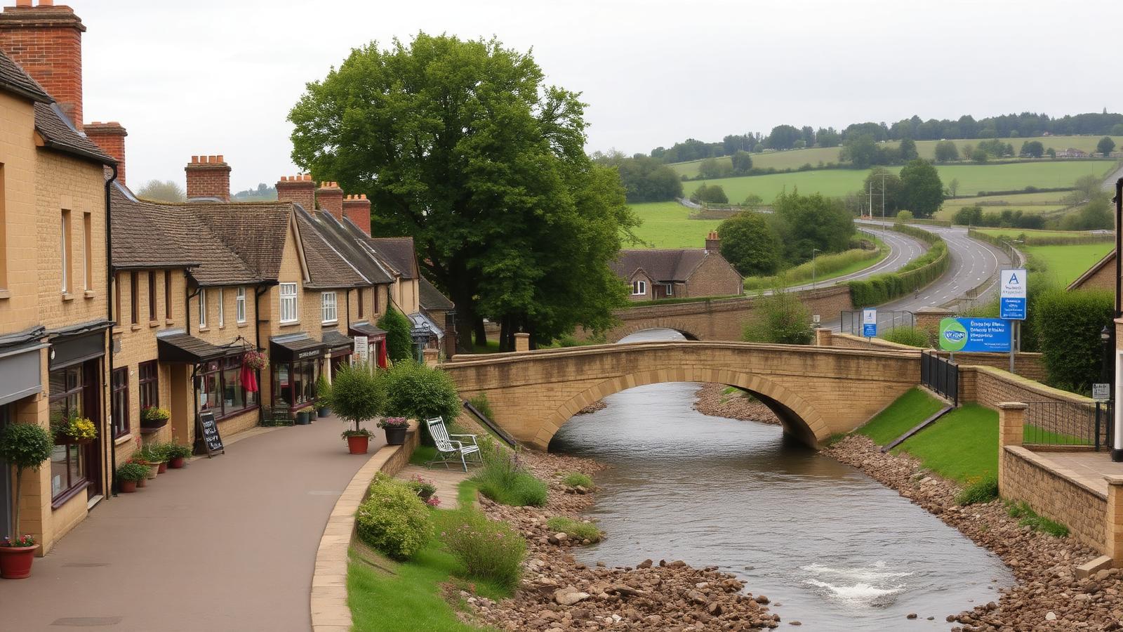
We work across the town: the centre around High Street, Market Square, Corn Street and Bridge Street, plus Cogges, Woodgreen, Newland, Burwell, Deer Park, Madley Park and the industrial and business estates on the Witney Road and Range Road side.
The corridors that matter here are the A40 itself, the B4022 towards Charlbury and Hailey, the B4047 towards Burford, the A4095 towards Long Hanborough, Ducklington Lane and the Downs Road link, plus the river and mill stream crossings that limit where traffic can be routed at all.
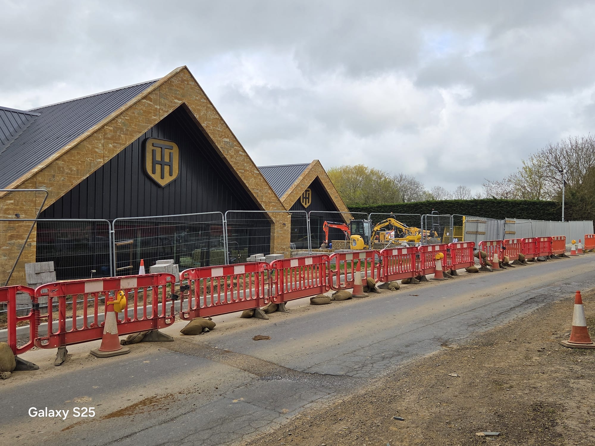
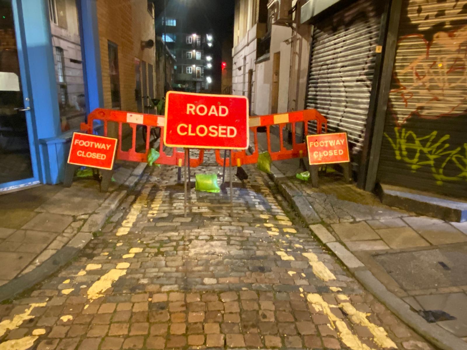
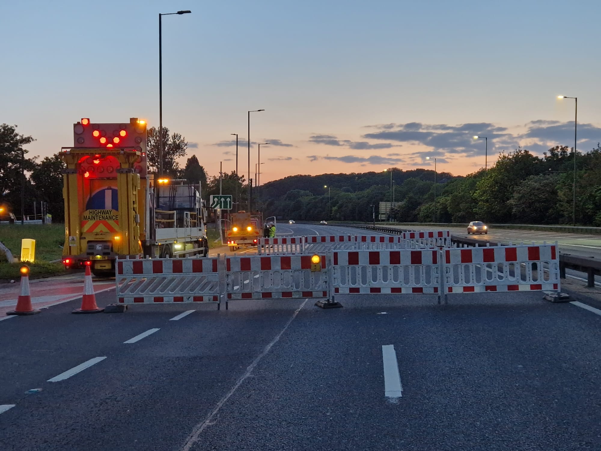
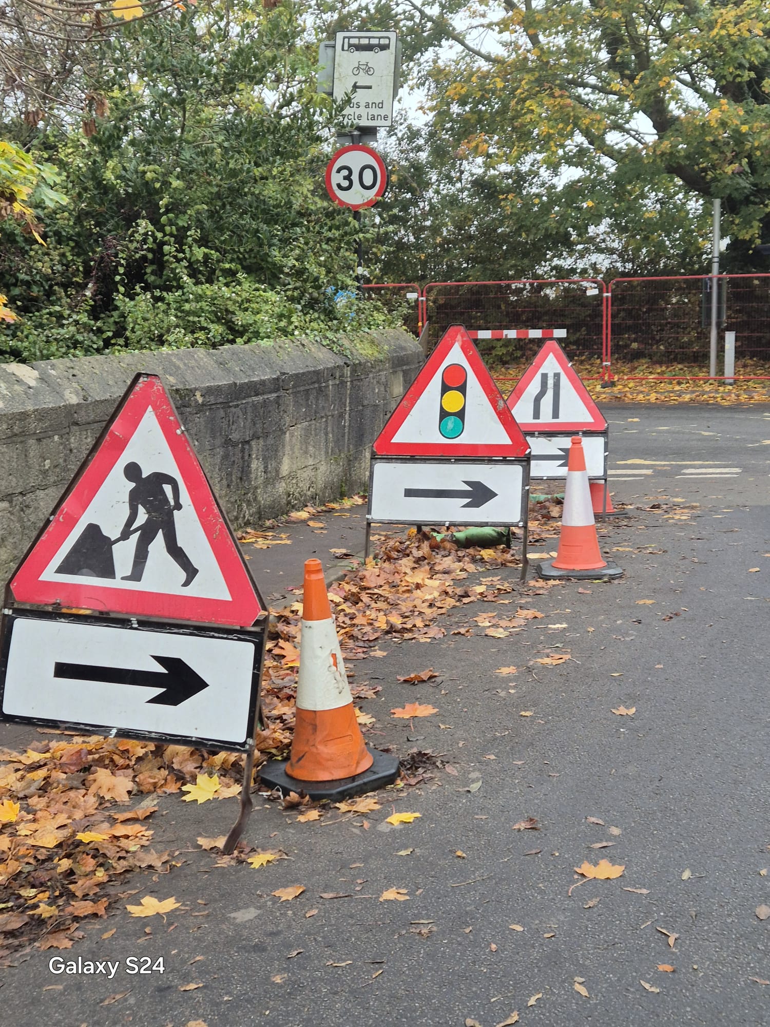
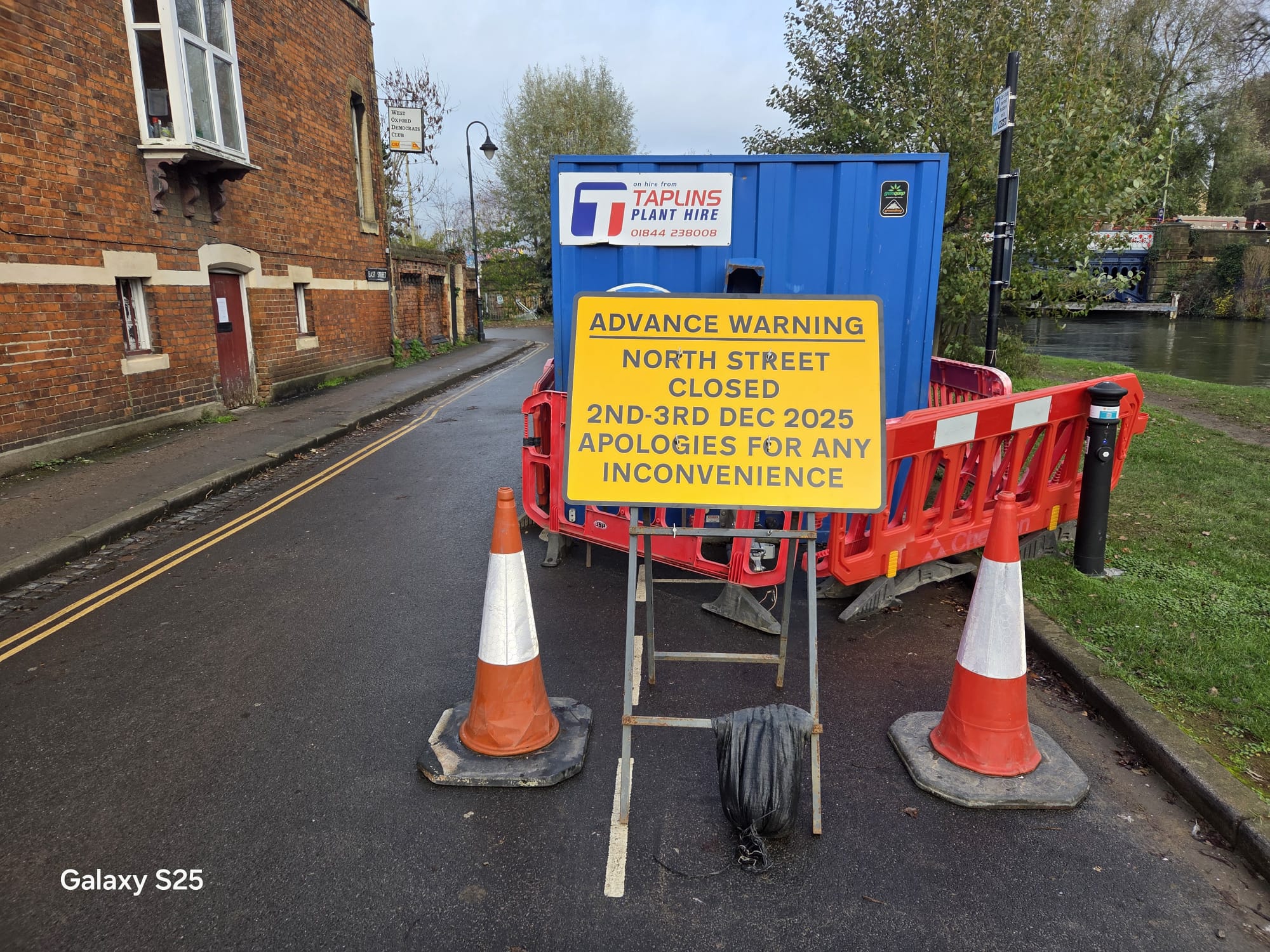
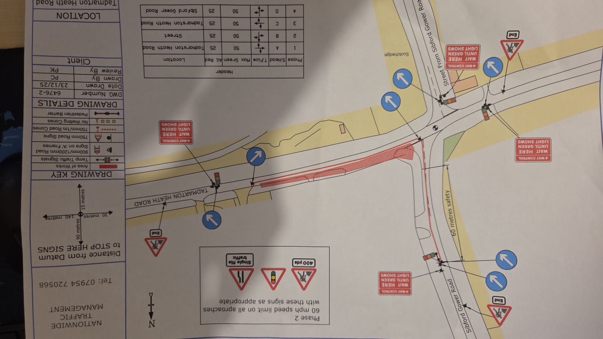
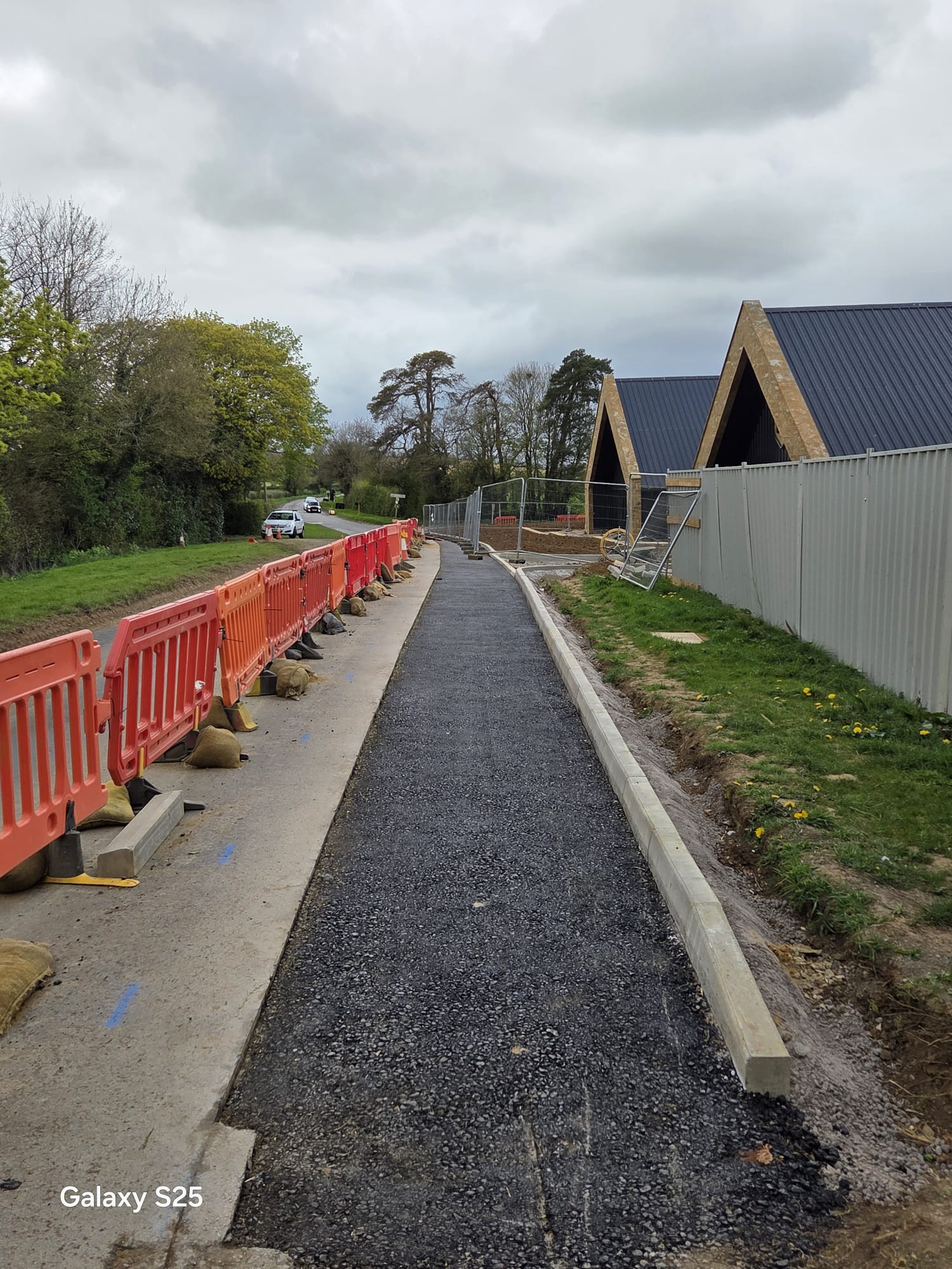
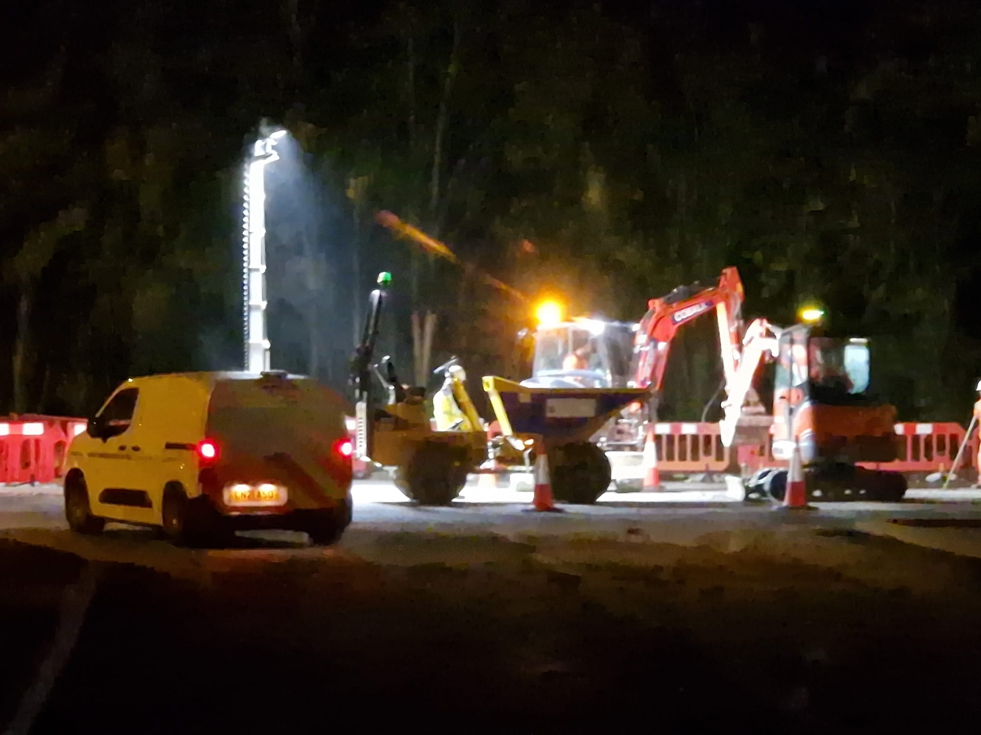
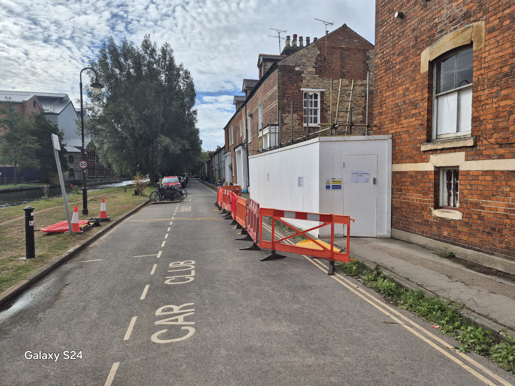
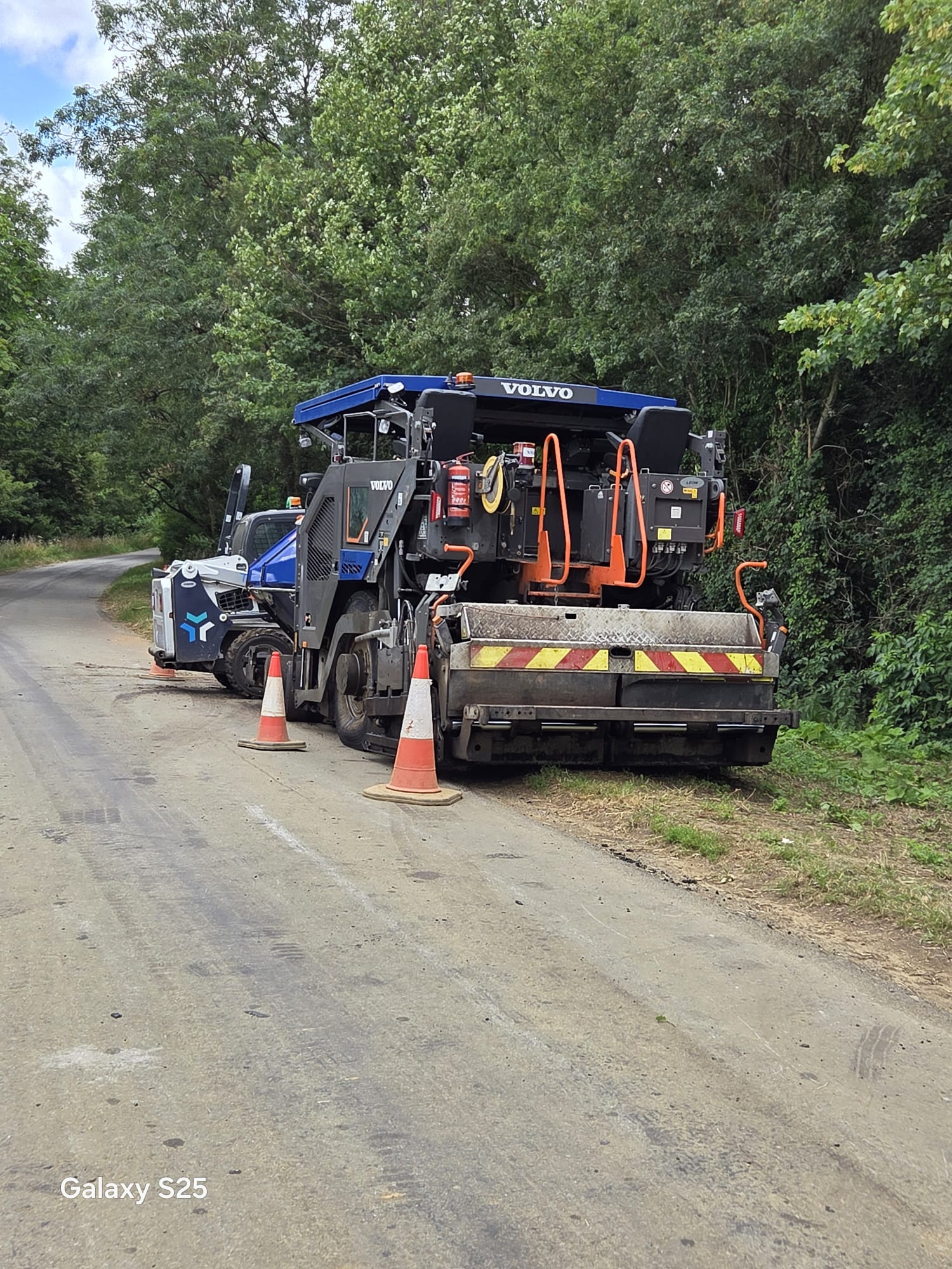
Typical schemes include utility excavations in the stone-built centre, footway closures for scaffolds and roof works, pedestrian routes past shopfront works, signals for single-lane working on the B-roads and rural approaches, construction access to the growth areas, and overnight lane closures on the A40 under Sector Scheme 12D.